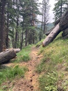
44 Trails Conditions Update 6/7/24

44 Trails conditions update

44 Trails conditions update – 6/7/24

More 44 Trails cleared for riding!

The following 44 trails are clear and ready to ride:

Newly cleared:
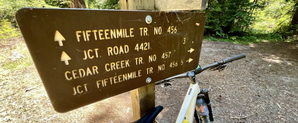
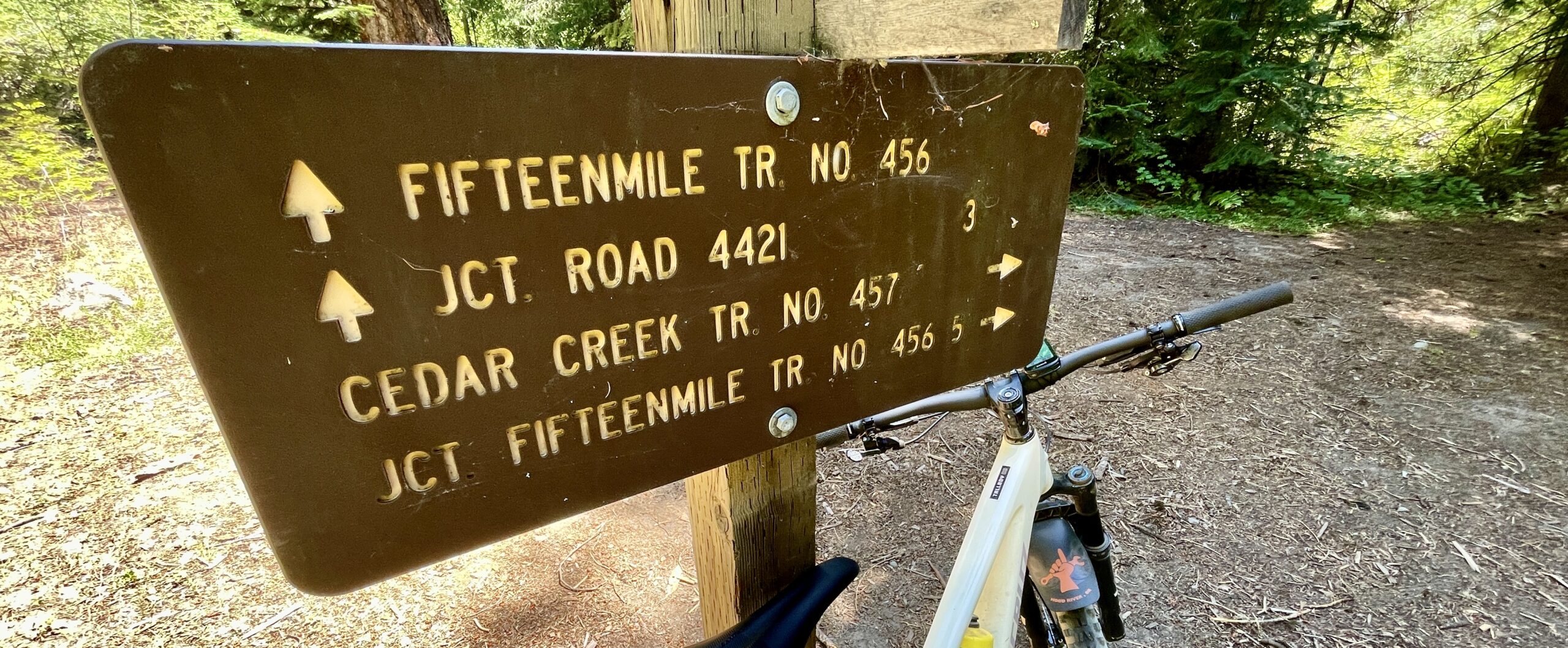
Fifteenmile
Cedar Creek
Underhill

Previously cleared:
Dog River Trail
Surveyor’s Ridge Trail
The Hub Trail
The Super and Super Duper Connector Trails
Eightmile
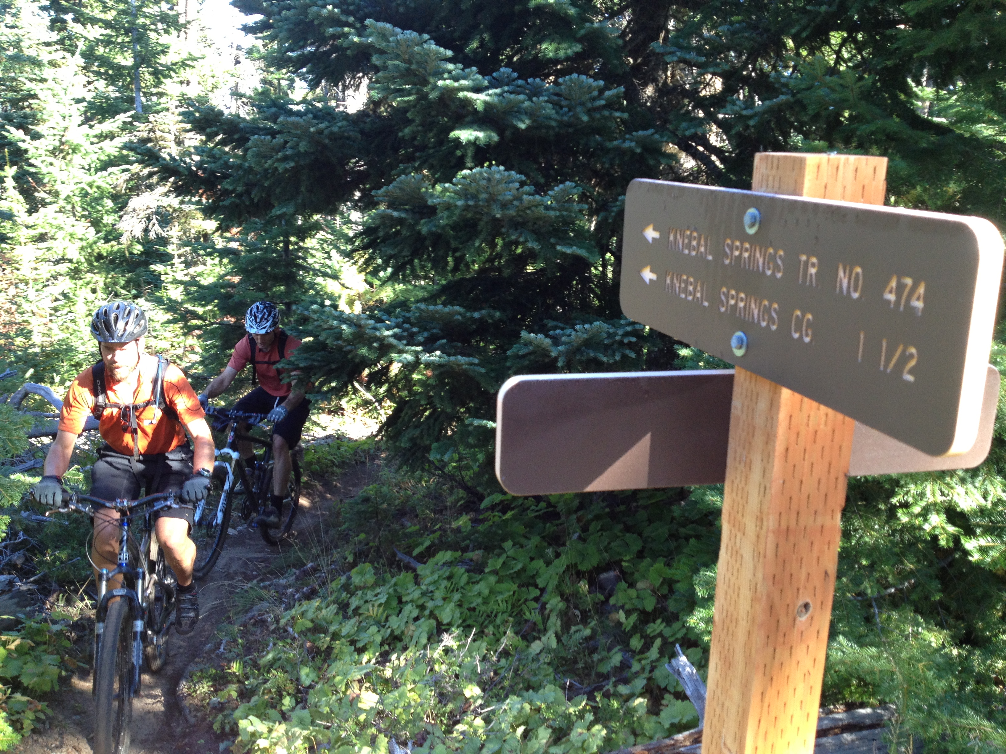
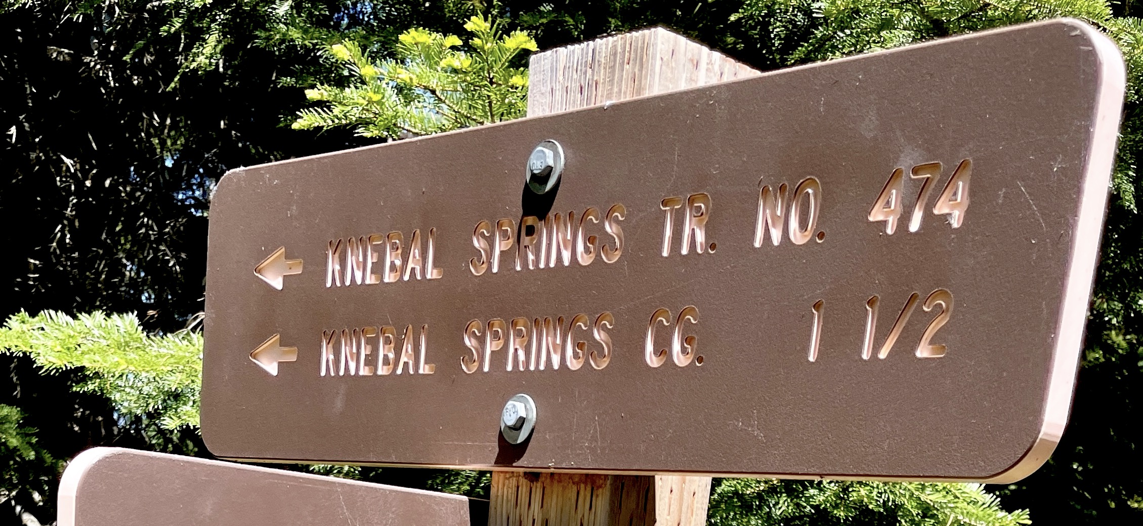
Knebal
Bottle Prairie
Cooks Meadow from 44 to 650 road)
Lookout (from 44 to 4420)

Yet to be cleared:
– Upper 450 (Lookout) still has snow (and trees yet to be cleared) above the junction to Fifteenmile
– Other high-elevation zones, including Gunsight, Boulder, Crane Creek, Hidden Meadows and Forest Creek

Happy riding!

Check out the RWGPS map of the 44 Trail system

More Trails Ready to Ride – Trail Conditions Update 5/31/24

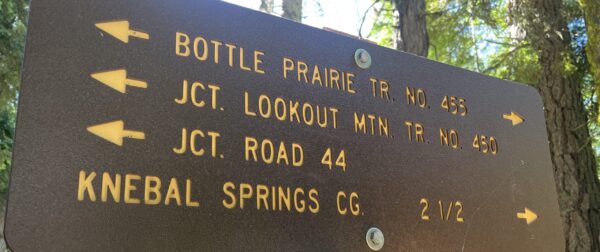
Bottle Prairie Trail SignTrail Conditions Update
5/31/24

More trails cleared for riding!

The following trails are clear and ready to ride:

Dog River Trail
Surveyor’s Ridge Trail
The Hub Trail
The Super and Super Duper Connector Trails
Eightmile
Knebal
Bottle Prairie
Cooks Meadow from 44 to 650 road)
Lookout (from 44 to 4420)

Fifteenmile and Cedar are snow-free, but you should expect to encounter some downed trees. They are next on the list to get cleared.

See you out there!

Help support our efforts to maintain the 44 Trails

44T Spring Trail Conditions Update

44 Trails Conditions Update 5/24/24

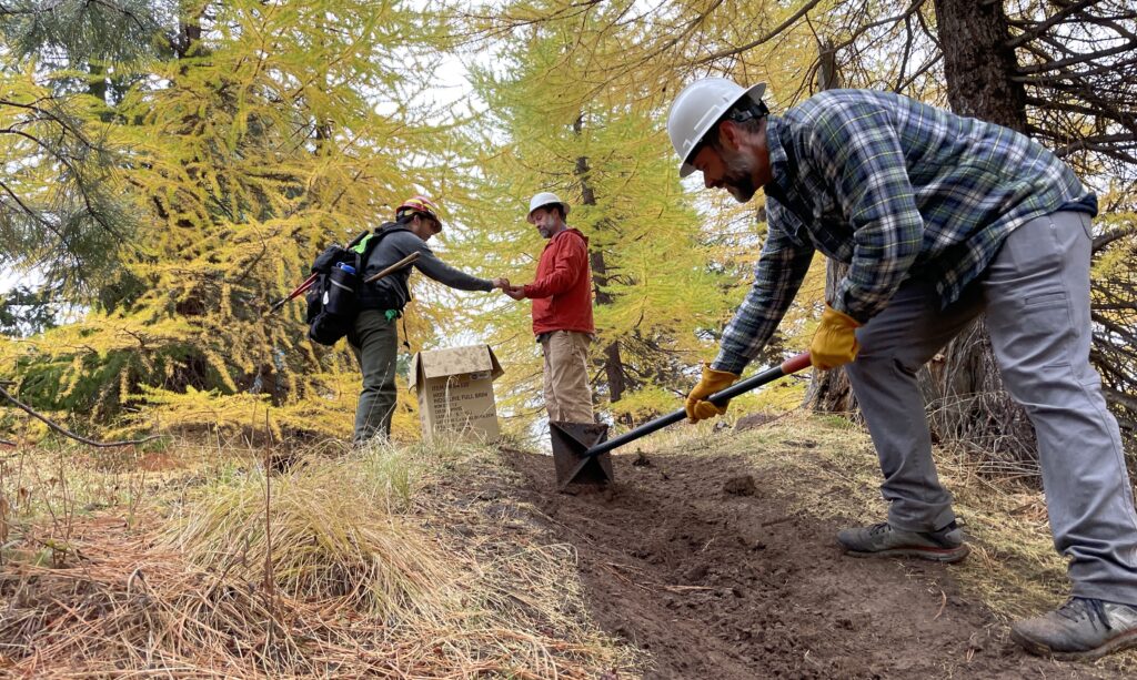
Thanks to those who helped out last weekend with tread and corner work on Dog River! 

trail work on dog river mt hood

Just a heads up that a majority of the 44 Trails system is still under snow and has yet to be cleared of winter blowdown. Snow-covered trails include much of Eightmile, Bottle Prairie, Lookout, Knebal, Fifteen Mile etc.

The good news is that there are a few trails ready to ride!

The following trails are clear and ready to ride:

Dog River Trail
Surveyor’s Ridge Trail
The Hub Trail
The Super and Super Duper Connector Trails

Also, heads up, the Dog River Super D race will take place this Sunday, May 26, so plan your riding accordingly.

See you out there!

support our volunteer trail stewardship efforts with a financial contribution!

Boulder Fire Info

Boulder Fire Update – Mt Hood National Forest: Updated Jul 26, 2023
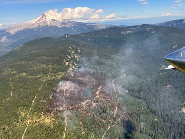
2023 Boulder Fire

2023 Boulder Fire, Mt Hood National Forest

The good news is that the Boulder Fire was successfully contained after burning about 250 acres around Boulder Lake. The bad news is that some fire closures are still in effect and they impact a number of trails in the Boulder Lake area.

You can read the latest Fire Closure Order here.

And here is a Boulder Fire Closure Map

____________________________________

Boulder Fire – Mt Hood National Forest: Updated Jul 13, 2023
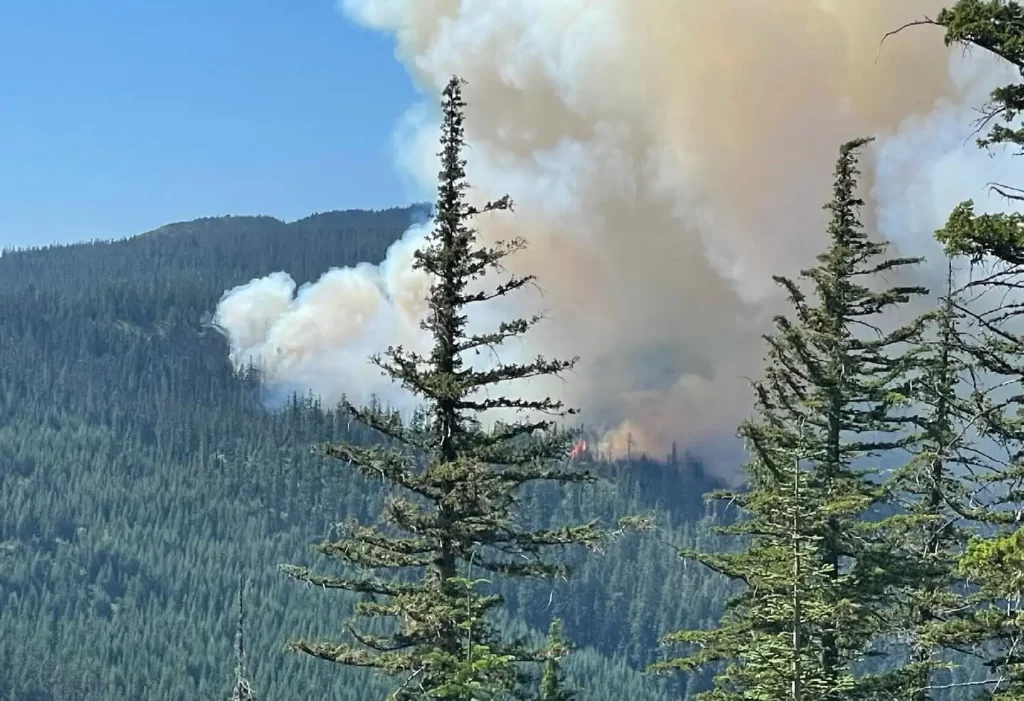
A fire in the vicinity of Boulder Lake on the Mt Hood National Forest is forcing closures to campgrounds, roads and trails in the area.

Firefighters are engaged in suppressing the Boulder Fire, which started on July 8 southeast of Mt. Hood on the Barlow Ranger District near Boulder Lake Trailhead. As of July 13, the fire is estimated to be about 300 acres.

The following road, trail and campground closures are in effect. As of July 13, the USFS published an official closure area with additional trails, roads and campgrounds closed due to the Boulder fire. 

Below are the closures of primary interest to mountain bikers, but beside to read the full Boulder Fire Closure document if you are planning any outings east if Highway 35 on the Mt Hood National Forest.

Trail Closures:
Boulder Lake Trail #463 #463A and #463B
Forrest Creek Trail #473
Hidden Meadows Trail #472
Crane Creek Trail #478
Gunsight Ridge #685
Crane Prairie #464
Gumjuwac #480

Road Closures:
FR 4880
FR 4881
FR 4890

Campground Closures:
Boulder Lake Campground
Little Boulder Lake
Bonney Meadows Campground
Badger Lake Campground
Camp Windy
Post Camp Campground

​The fire is burning in a heavily forested area on steep slopes. Four engines, four hotshot crews and two heavy helicopters are actively working on the fire, with additional resources en route.

A larger area closure is in the process of being implemented for public safety. Visitors are asked to avoid the area as conditions can change quickly.

Visit the Mt. Hood National Forest News and Events page or our Facebook page at www.facebook.com/mthoodnf for current information.

Boulder Fire Map
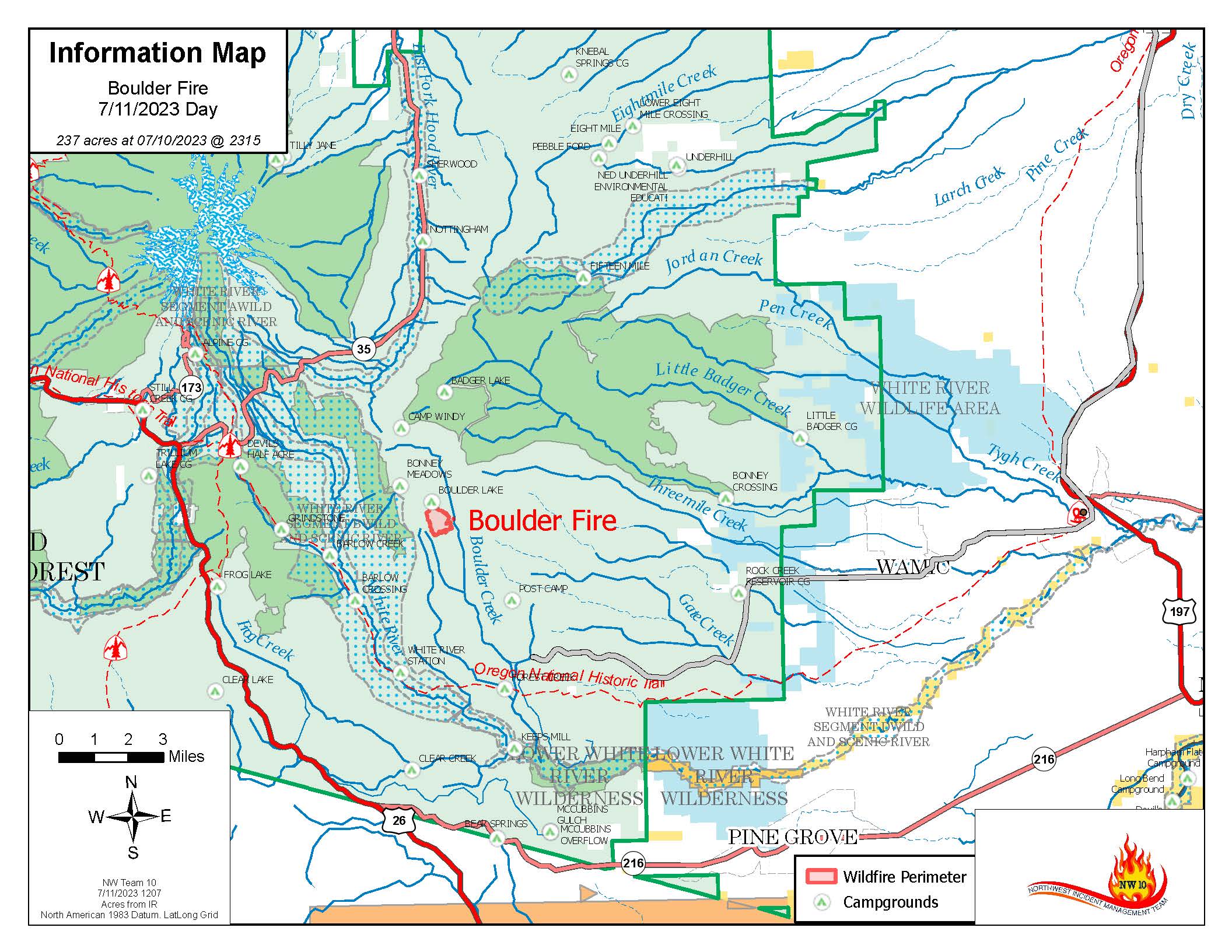
boulder fire map

fire map as of July 11
 

Trail Work Day June 25

15-Mile Trail Work DayJoin us for our first trail work day of the season Sunday, June 25.

Bring your bike and a daypack for carrying tools. We can use bikes for quicker access to the work site.

WHEN:
Sunday, Sunday June 25.  @ 9 AM

WHERE:
Meet at Little John SnoPark, HWY 35 at 9am. We’ll caravan from the snopark to the work site and access 15-Mile via the Underhill trail #683 off the 44 road. 

WHAT:
15 Mile Trail #456 – lopping, brushing, clearing

REQUIRED: Long Pants, Work Boots, Gloves, Day Pack, Water, Bike Helmet
Bring Hand Tools: Loppers, hand saws, metal rakes, hedge trimmers, bike, backpack

Can’t make it and still want to help support the trail network? Consider a tax-deductible donation to support our efforts. All proceeds go toward trail work, tools and materials for the 44 network.

Surveyor’s Ridge – Temp Closure

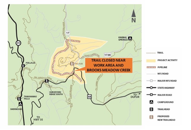
Surveyor’s Ridge Trail Temporarily Closed at the South End – June 15-27

Heads Up 44 Trails Users – Surveyor’s Ridge Trail #688 in Mount Hood National Forest will be temporarily closed to the public June 15-27 due to active construction for the City of The Dalles Dog River Pipeline Replacement Project.

Please stay safe and use an alternate trail.

What: Trail closed to public access.
Where: Old Surveyor’s Ridge Trail near the work area and Brooks Meadow Creek.

What to expect:
• Closure notices posted at either end of trail.
• Active construction work and equipment in the area.

surveyors ridge temp closure zone-map